Cross country skiing at Montriond
- Level bue - easy


Presentation
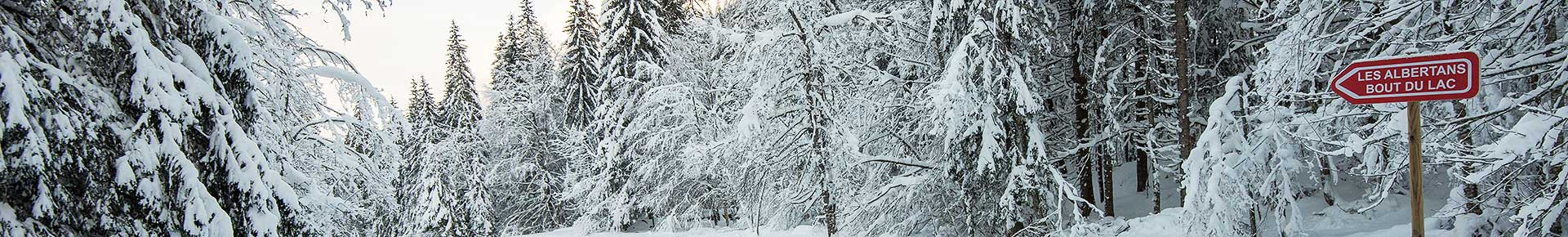
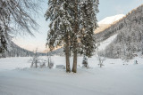
A site deep in a valley where there’s an imposing cliff-face and fir
trees all around.In winter, the lake is frozen, in places a metre thick.The magnificent Nordic area is perfect for cross-country skiing.
trees all around.In winter, the lake is frozen, in places a metre thick.The magnificent Nordic area is perfect for cross-country skiing.
.No ski pass necessary.
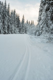
Offers 3 cross country ski routes:
• 1 green level and 1 blue level from Les Albertans hamlet: 1km each
• 1 red level from Les Albertans hamlet (possible from the parking of Le Bout du Lac) : 1,2 km
The tour of Montriond lake is exclusively reserved for pedestrians.
Please note, the path along the lake on the cliff side is closed in the event of an avalanche risk
Carte : IGN TOP 25, 3528 ET, Morzine
From 15/12 to 15/04 daily.
- Informations Itinéraire :
- 100 m de dénivelé
Destination
Ski de fond à Montriond
Route du Lac
Lac de Montriond
74110
Montriond
GPS coordinates
Latitude : 46.210316
Longitude : 6.736947
Tarifs
| Fares | Min | Max |
|---|---|---|
| Free | ||
Contact
Cross country skiing at Montriond
Route du Lac
Lac de Montriond
74110
Montriond
Phone : +33 4 50 79 12 81